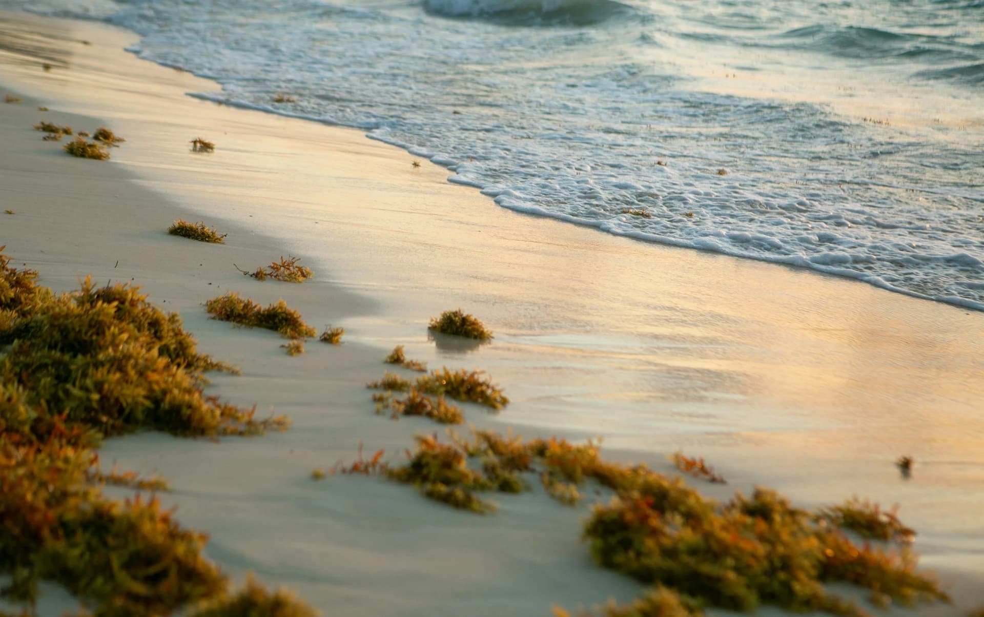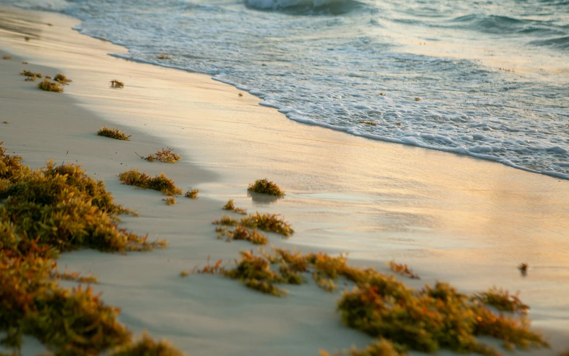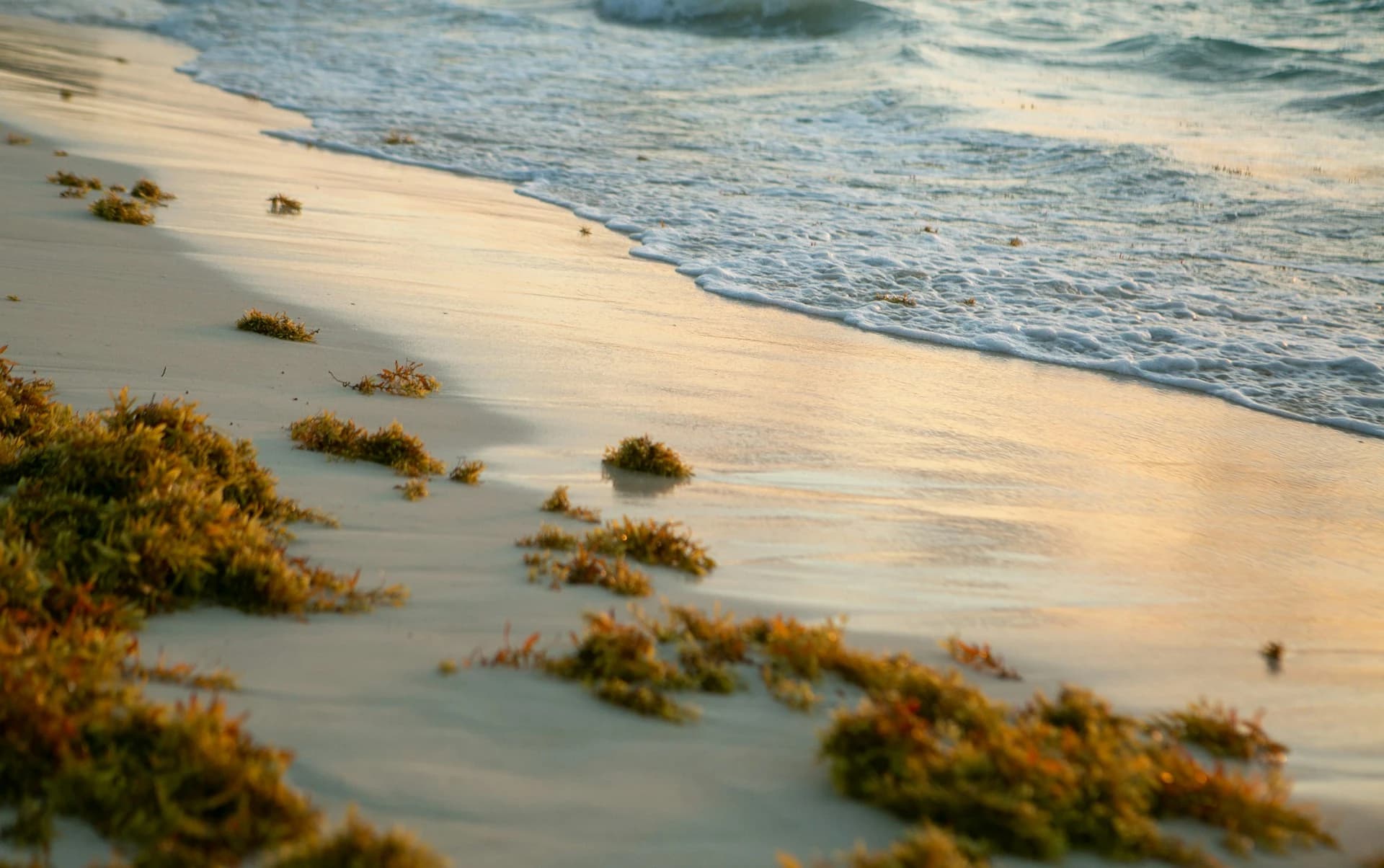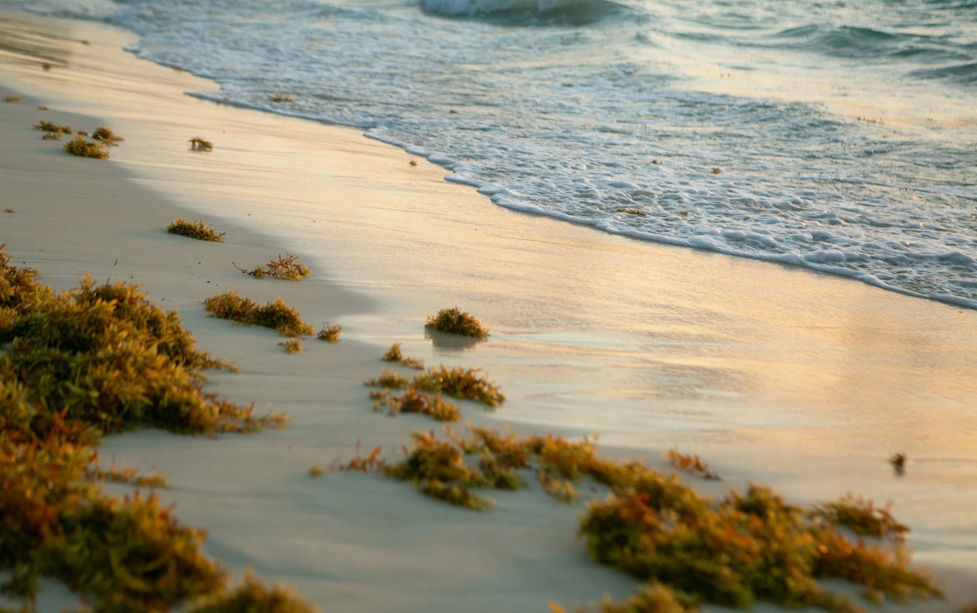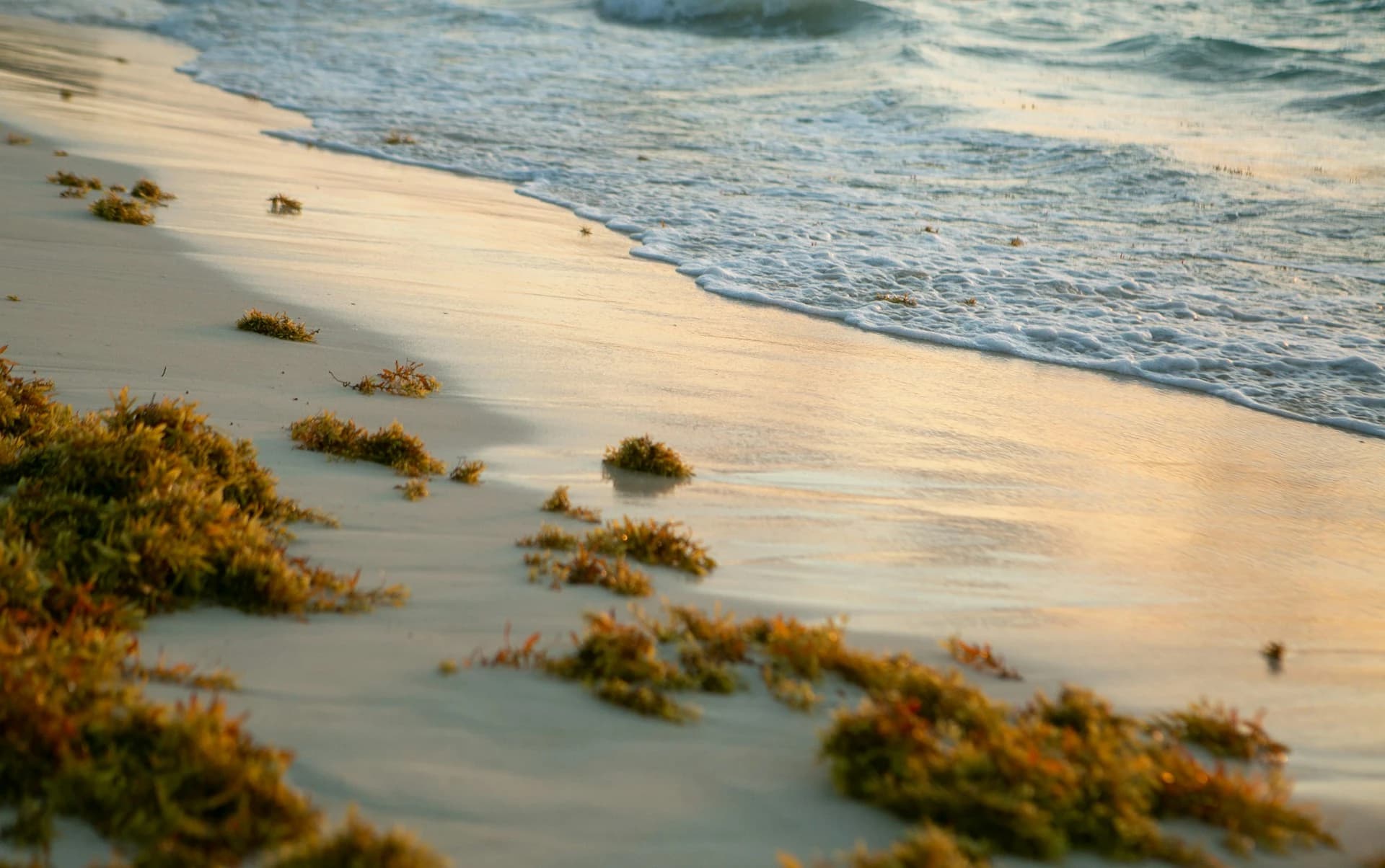
Puerto Aventuras sits on the open Caribbean in the same exposure band as Playa del Carmen, so it gets real sargassum in summer, but Fatima Bay's offshore breakwater and the community's own barrier project change the picture. This guide covers the worst months, which of the three bays holds up best, the 2026 outlook, and the clean-water backups built into the town.
What You Should Know
- Puerto Aventuras faces the open Caribbean in the Solidaridad municipality, the same stretch that includes Playa del Carmen, so it is a high-risk destination for sargassum rather than a sheltered one. Solidaridad cleared roughly 26,060 tonnes through late June 2026, about a third of the state total and more than any other municipality.
- The town's advantage is structural, not geographic: Fatima Bay has an artificial breakwater just offshore that keeps the water calm and makes the sand far easier for crews to clear than an open surf beach. It reduces the mess, it does not stop the seaweed arriving.
- The peak runs May through September, and in 2026 it crested in June and July before starting to recede, though the southern half of the coast has cleared more slowly. November through April is the clean season, with December, January and February the safest bets.
- The marina, the canals and the dolphin and manatee lagoons sit inland behind the channels and are unaffected by shoreline sargassum, and the cenotes at Kantun Chi and Chikin Ha are minutes away on Highway 307, so the town has clean-water backups built into it.
Does Puerto Aventuras Get Sargassum?
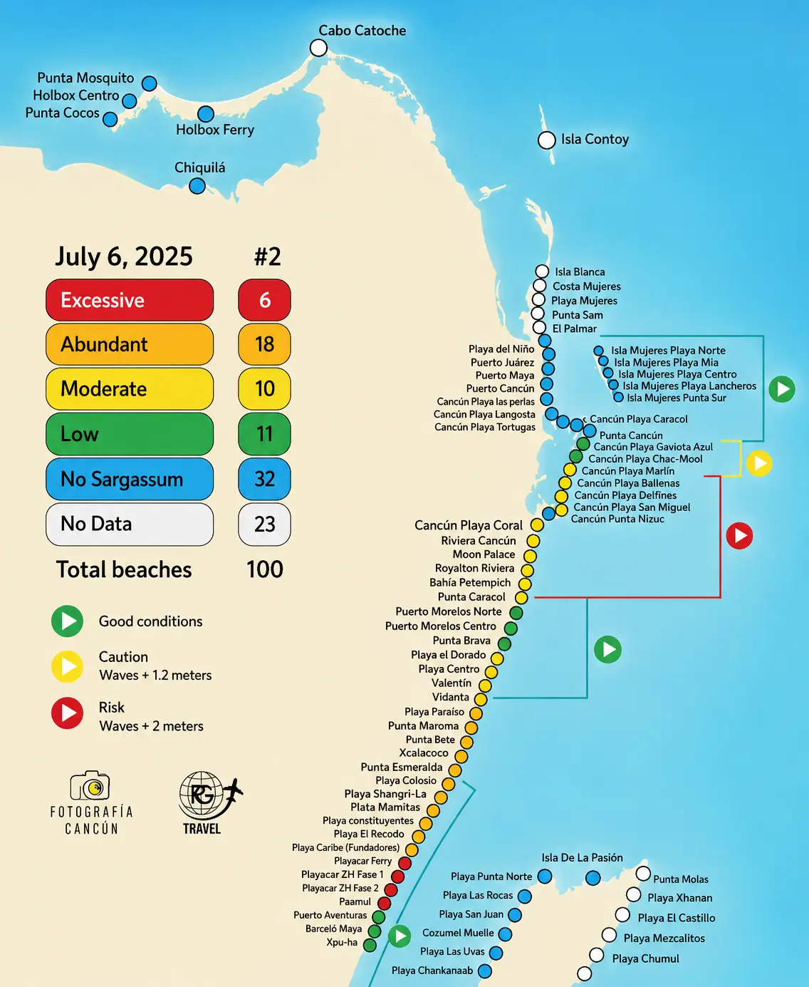
⭐ The short answer: Yes. Puerto Aventuras faces the open Caribbean in the same exposure band as Playa del Carmen and gets heavy sargassum in the summer peak. What makes it different is Fatima Bay's offshore breakwater, which keeps the water calm and the sand cleanable, and a marina and cenote scene that stay clear no matter what is on the beach.
Does Puerto Aventuras have sargassum? Yes, and it is worth being direct about how much. Puerto Aventuras is a gated marina community about 20 kilometers south of Playa del Carmen, roughly an hour down Highway 307 from the airport, and it sits inside the Solidaridad municipality. That is the single most sargassum-affected municipality in Quintana Roo: state cleanup figures put Solidaridad at around 26,060 tonnes cleared through late June 2026, roughly a third of the entire state total. The mechanism is the Yucatán Current running north up this coast and the easterly trade winds pushing floating rafts onto the sand, and there is no barrier reef sitting close inshore the way there is at Puerto Morelos.
What Puerto Aventuras does have is engineering. The community was built around three natural bays, and the main one, Fatima Bay, has an artificial breakwater just offshore that keeps the water calm and clear inside it. That matters during sargassum season for a practical reason: calm, shallow water is much faster to rake and clear than a surf-pounded open beach, and the seaweed that does land tends to stay in a manageable line rather than churning into the water column. Residents have gone further and funded their own floating barrier, covered below. The honest framing is that Puerto Aventuras is a high-risk destination that manages the problem unusually hard, not a sheltered one that avoids it.
This guide covers when sargassum is worst here, how the three bays differ, what the community barrier project means for 2026 and beyond, and the clean-water alternatives within a few minutes of the gate. For the wider regional picture, our Cancún sargassum season guide sets out how the whole coast compares.
Here is how Puerto Aventuras sits against the rest of the coast for sargassum risk:
| Destination | Sargassum (Seaweed) Risk |
|---|---|
| Isla Holbox (Gulf-facing) | Very Low |
| Isla Mujeres (Playa Norte) | Very Low |
| Cozumel (west coast) | Very Low |
| Cancún | Moderate |
| Puerto Morelos | Moderate |
| Puerto Aventuras | High |
| Playa del Carmen | High |
| Tulum | Very High |
Puerto Aventuras Sargassum Today
🌊 Current assessment (late August 2026): 2026 is a record year, and the season crested in June and July before starting to recede. Quintana Roo had collected 106,848 tons statewide as of August 14, with roughly 150,000 tons projected by year end against 94,000 tons in all of 2025. Puerto Aventuras is taking a real share: the Colonos Association reported removing more than 1,100 tons from the community's beaches by the end of June, over 450 dump-truck loads, working with the Mexican Navy. Expect daily arrivals with genuinely good days mixed in, especially when a northerly wind pushes the rafts back offshore. The breakwater side of Fatima Bay clears fastest.
Latest beach photos: for same-day, dated photos, live satellite tracking, and current Puerto Aventuras beach conditions, use the live sources listed in the tracking section below. Same-week photos from your specific bay or resort are the most reliable read, because conditions here can swing between clear and buried within 48 hours.
Last reviewed: August 2026. We update this assessment periodically; conditions can change within a few days, so confirm close to your travel dates. If you are checking Puerto Aventuras sargassum today for a specific date, the live trackers and resort webcams are far more accurate than any seasonal average.
Puerto Aventuras Seaweed vs Sargassum: Same Thing
If you are searching for Puerto Aventuras seaweed, or seaweed at Fatima Bay, that is the same thing as sargassum: the terms are used interchangeably for the brown algae that drifts in from the Atlantic and piles up on Caribbean beaches. Whether you call it the Puerto Aventuras seaweed season or the sargassum season, the timing, the bays, and the advice in this guide are identical. The Puerto Aventuras seaweed forecast follows the same regional satellite data covered below, and the weed here is heaviest from June through September. One local distinction is worth knowing: seagrass also washes up on this stretch in smaller amounts year-round, and it is a natural part of the ecosystem rather than the Atlantic bloom, so a thin dark line at the tide mark in February is not the same thing as a summer sargassum landing.
Doesn't Cozumel Block the Sargassum?
This is the first thing most people ask when they look at a map, and the geometry genuinely does look protective. Puerto Aventuras sits at about 20.51°N, which is almost exactly the latitude of San Miguel de Cozumel at 20.51°N, roughly 30 kilometers due west of the island. Puerto Aventuras really is tucked in behind Cozumel. It just does not help, and understanding why is the key to reading this coast properly.
Cozumel shelters itself, not the mainland. Sargassum does not drift straight in from the east; it is carried north along this coast by the Yucatán Current, arriving from the south rather than from the open Atlantic, and Cozumel splits that current rather than damming it. On top of that, the easterly trade winds push the floating rafts westward onto the mainland shore. Those two facts are the same reason Cozumel's leeward west coast stays famously clean: the wind drives the weed past the island and onto the beaches behind it. Cozumel's clear water and Puerto Aventuras's loaded sand are two halves of one process, not opposites.
The research backs this up bluntly. A peer-reviewed study in Frontiers in Marine Science mapping sargassum across the Mexican Caribbean from 2014 to 2020 found the shoreline between 20.25°N and 20.75°N to be the most prone to landings on the entire coast, and named Solidaridad among the areas with the most extreme and most frequent episodes. Puerto Aventuras sits in the middle of that band. The same study found that the sea area immediately south of Cozumel carries the highest cumulative satellite-detected sargassum coverage anywhere in the region, because the current slows there, which leaves a standing reservoir of weed sitting directly upstream of Puerto Aventuras through the summer.
The practical version: an island offshore is not the same thing as a reef inshore. Puerto Morelos benefits because its barrier reef sits roughly 500 meters out and breaks up rafts before they land. Cozumel is 30 kilometers out and does the opposite favour, funnelling weed onto the coast behind it. If you want Cozumel's protection, you have to be on Cozumel's west coast, which our Cozumel sargassum guide covers.
The Puerto Aventuras Sargassum Barrier Project
Puerto Aventuras is doing something few towns on this coast have attempted: paying for its own offshore barrier. At the March 2026 General Assembly, members of the Puerto Aventuras Colonos Association approved a privately funded floating barrier costing more than 6 million pesos, roughly $120,000. The plan, as reported locally, is about 900 meters of floating barrier across Bahía de Fátima, with additional smaller sections near the Yacht Club and Caleta Kantenah. Okeanis-Inmar Caribe is responsible for manufacturing, supply, installation and ongoing maintenance, and residents approved a recurring maintenance fee to keep it running once installed.
As of our August 2026 review the barrier was not yet in the water. The shipment was scheduled for August 1 but was held up in customs over new import requirements covering certain metallic components in the structure, leaving the project in a holding pattern through the peak of the season. In the meantime the association redirected those funds to hired beach-cleaning crews rather than holding them in reserve, which is why removal volumes here have been so high this summer.
This is separate from the federal effort. In its 2023 sargassum operation the Mexican Navy installed roughly 2,500 meters of anti-sargassum barriers across Solidaridad, covering Playa del Carmen and Puerto Aventuras, as part of a statewide program of more than 9,000 meters. For travelers, the practical takeaway is twofold: Puerto Aventuras is being cleaned aggressively, which is why beaches here often look better by mid-morning than the raw arrival volume would suggest, and the barrier is a 2027-and-onward improvement rather than something you can count on for a 2026 trip.
Which Puerto Aventuras Beach Gets the Least Sargassum?
Puerto Aventuras was master-planned around three existing bays, and they do not behave the same way in sargassum season. Knowing which one your condo or resort sits on matters more here than in most towns on this coast, because the difference between the sheltered breakwater water and the exposed southern sand can be dramatic on the same morning.
| Area | Sargassum Risk |
|---|---|
| Fatima Bay (inside the breakwater) | Moderate |
| Fatima Bay (southern end) | High |
| Bahía Chan Yu Yum | High |
| Caleta Chac Hal Al | Rocky, not a swim beach |
| Marina and canals | None |
Fatima Bay
Fatima Bay, also called Playa Aventuras, is the main beach: roughly 1.5 kilometers of sand between the two marina access channels, with an artificial breakwater just offshore. The water inside the breakwater is warm, shallow and calm enough that you can wade out several meters before it reaches your waist, and this is the stretch that holds up best in the peak. It is also where the community concentrates its cleaning. The southern section is the exception and is consistently the hardest-hit part of the whole town in sargassum season, so if the beach is the point of your trip, aim north.
Bahía Chan Yu Yum
Chan Yu Yum is the small bay at the northern end, fronted by the Catalonia resorts, with its own breakwater and genuinely good snorkeling on calm days. Travelers repeatedly report this bay collecting heavily during the peak, partly because it is a small pocket that traps what arrives. Outside the barrier the currents demand caution regardless of season. Public access is via the wooden steps near the Kantenah Lagoon bridge.
Caleta Chac Hal Al
Chac Hal Al is the rocky inlet at the far end of the community, backed by private development and a small ruin site. There is no real beach here and it is not a swimming or sunbathing spot, so sargassum is largely academic. It is worth knowing only so you do not book a condo expecting sand.
The marina and canals
The marina is the town's trademark and its best sargassum insurance. The canals and the dolphin and manatee lagoons sit inland behind the entrance channels, so they are completely unaffected by what is happening on the sand. On a heavy beach day the marina restaurants, the boat trips and the lagoon are all running exactly as normal, which is a genuinely useful thing to have inside the gate.
Puerto Aventuras Sargassum Month by Month
Here is the typical pattern for Puerto Aventuras. Treat it as the baseline: a record-bloom year like 2026 shifts the whole curve up, and the breakwater changes how quickly the sand is cleared rather than how much arrives. The clean window is November through April; the worst is June through September.
| Month | Typical Level | What to Expect |
|---|---|---|
| January | Minimal | Clean dry-season sand and calm, clear water inside the breakwater |
| February | Minimal | Among the cleanest months of the year |
| March | Low | Usually clean, with the first rafts of the year possible late in the month |
| April | Low to moderate | Season begins; often still good early, building noticeably after Easter |
| May | Moderate to high | Ramps up fast; daily cleaning crews become the norm |
| June | High | Heavy landings; the southern end of Fatima Bay is worst |
| July | High (peak) | One of the worst months; expect daily arrivals with occasional clear days |
| August | High | Still heavy, though in 2026 the crest had passed and levels were easing |
| September | Moderate to high | Still heavy, easing late in the month |
| October | Moderate | Clearing through the month, noticeably better by late October |
| November | Minimal | Beaches clean again; one of the best beach months of the year |
| December | Minimal | Clean through the holidays |
ℹ️ Levels are seasonal averages. Puerto Aventuras follows the Playa del Carmen pattern closely because it sits in the same municipality and the same exposure band. Check live conditions close to your dates.
2026 Puerto Aventuras Sargassum Forecast
2026 is a record or near-record sargassum year across the Mexican Caribbean, and it started unusually early. The University of South Florida's Optical Oceanography Lab, which tracks the bloom by satellite, projected the season would run above the 75th percentile of all historical values, and the first arrivals hit Quintana Roo beaches in January, the earliest start on record. By late June the state had cleared roughly 72,700 tonnes, with Solidaridad accounting for around 26,060 of those tonnes, the largest share of any municipality. Statewide collection reached 106,848 tons by August 14, and roughly 150,000 tons are projected by year end against 94,000 tons in all of 2025.
The crest passed in June and July, but the southern half of the coast has cleared more slowly than the north, so for travelers the realistic 2026 expectation for Puerto Aventuras is continued visible sargassum easing through September and October, and reliably clean beaches from November. Our take: in a year like this one, Puerto Aventuras is a better base than it looks on the risk table, because the marina, the lagoons and the Highway 307 cenotes are all inside or minutes from the gate, so a bad beach morning costs you a lot less here than it would in a beach-only town. If clean sand is non-negotiable and your dates are fixed in summer, the sheltered beaches of Isla Mujeres and Holbox are the honest answer instead. For the satellite data behind these forecasts, the University of South Florida Optical Oceanography Lab publishes regular outlook bulletins.
Puerto Aventuras vs Playa del Carmen for Sargassum
These two are close neighbours in the same municipality, about 20 kilometers apart, and they get broadly the same sargassum. Neither has a close-in barrier reef, both face due east, and both sit in the stretch that led the state's 2026 cleanup totals. Anyone telling you Puerto Aventuras is a sargassum escape from Playa del Carmen is overselling it.
Where they differ is in what happens next. Fatima Bay's breakwater keeps the water calm and the sand cleanable, and the town's small size and private funding mean crews cover the whole beach rather than triaging a long public shoreline, so the sheltered stretch often looks better by mid-morning. Playa del Carmen counters with scale: crews out by 5am daily, resort barriers, and far more restaurants, nightlife and day-trip options for when the beach is a write-off. Our read is that Puerto Aventuras suits travelers who want a quiet marina base with built-in clean-water backups, while Playa del Carmen suits those who want a busy town where the beach is only one of the reasons to be there. Our Playa del Carmen sargassum guide covers its conditions in detail, and our Cancún vs Playa del Carmen comparison adds the third option. For a genuinely lower-risk mainland base, Puerto Morelos and its offshore reef beat both.
From Our Experience
What we consistently see is that Puerto Aventuras rewards travelers who treat the beach as one option rather than the whole trip: the marina, the dolphin and manatee lagoons, and the Kantun Chi and Chikin Ha cenotes just outside the gate all stay clear on the worst beach mornings, which is why guests here report far less disruption than the raw sargassum numbers for Solidaridad would suggest.
How to Plan Your Puerto Aventuras Trip Around Sargassum
- Travel November through April if the beach is the point: that window is reliably clearest, with December through February the safest bet. June through September is heaviest, and in 2026 the crest came in June and July.
- Book on the north end of Fatima Bay: the sheltered water inside the breakwater is the best stretch in town, and the southern section of Fatima Bay is consistently the hardest hit. Ask your property which end of the bay it fronts.
- Confirm the beach-cleaning program before booking: Puerto Aventuras cleans hard, but coverage still varies between the community beach and individual resort frontages. Ask specifically whether crews rake daily in summer.
- Watch the wind, not just the forecast: a northerly pushes the rafts back offshore and can turn a buried beach clear within a day, while a sustained easterly does the opposite. This is the single best short-term predictor here.
- Use the marina on heavy days: the canals and the dolphin and manatee lagoons sit behind the channels and are completely unaffected by shoreline sargassum, so boat trips and the lagoon run as normal.
- Keep a cenote day in the plan: Kantun Chi sits right on Highway 307 at Puerto Aventuras with five cenotes and an underground cave, and Chikin Ha is just south with two cenotes open for swimming. Both are clear freshwater with zero seaweed. Our cenote tour guide covers the wider options nearby.
- Compare with the alternatives if summer is fixed: for the cleanest water in the region, the sheltered beaches of Isla Mujeres and Holbox beat any open-coast option, breakwater or not.
How to Track Puerto Aventuras Sargassum Before You Go
Because conditions here can flip within 48 hours, check live, dated information close to your trip rather than relying on the seasonal average. A few sources work well together:
- Satellite outlooks: the University of South Florida Optical Oceanography Lab publishes regular sargassum outlook bulletins for the Atlantic and Caribbean, which show how much is offshore and where it is headed.
- Daily dated beach photos: regional sargassum-monitoring sites and Facebook groups post same-day photos from Fatima Bay specifically, which is the closest thing to standing on the sand yourself.
- The Colonos Association: the Puerto Aventuras residents association publishes updates on beach cleaning and the barrier project, which is the most direct local source on what is actually happening on the sand.
- Resort webcams and social media: the properties on Fatima Bay and Chan Yu Yum post recent beach photos, and a live webcam beats any forecast for a same-day read.
- Planning around the wider season? Our best time to visit Cancún guide covers how sargassum fits alongside weather, crowds and prices across the year.
- Travelling in August? Our Riviera Maya in August guide covers the peak-sargassum month across the corridor from Puerto Morelos through Puerto Aventuras to Tulum.
- Arriving from the airport? Our Cancún airport to Puerto Aventuras transfer guide covers the roughly one-hour run south down Highway 307.
Cross-checking a satellite outlook against same-week beach photos gives the most accurate read. For the regional context behind the local conditions, our Cancún sargassum season guide covers the whole coast.
Sources for the figures on this page
Every tonnage, measurement and date cited above comes from one of the following. We link them so you can check the numbers rather than take our word for them.
- Municipal cleanup breakdown (26,060 tonnes for Solidaridad against 72,700 tonnes statewide as of late June 2026): Quintana Roo state figures as reported by the Rio Times, June 2026.
- Statewide collection total (106,848 tons as of August 14, 2026): Riviera Maya News, reporting state figures.
- Year-end projection, 2025 comparison and peak timing (roughly 150,000 tons projected for 2026 against 94,000 tons in 2025, and the June-to-July crest now receding): Mexico News Daily, August 2026.
- Puerto Aventuras removal volumes and barrier specifications (1,100 tons, 450 dump-truck loads, 6 million pesos, 900 meters, the August 1 shipment and customs delay): Riviera Maya News, 2026.
- Barrier project approval, funding and maintenance: the Puerto Aventuras Colonos Association, the residents' body that commissioned it.
- Mexican Navy barrier deployment (2,500 meters across Solidaridad, more than 9,000 meters statewide): the Navy's 2023 sargassum operation, as reported at the time. These figures are from 2023 and are included as background, not as current-season deployment.
- Current mechanics, latitude band and Cozumel's effect: Chávez et al., "Multiscale distribution patterns of pelagic rafts of sargasso in the Mexican Caribbean (2014 to 2020)", Frontiers in Marine Science, peer-reviewed and open access.
- Bloom size and seasonal outlook: the University of South Florida Optical Oceanography Lab, which publishes the satellite bulletins the regional forecasts are built on.
ℹ️ Figures are current as of our August 2026 review. Cleanup tonnages are cumulative season totals that keep rising, and the barrier project status may have changed since. Where a number is a projection rather than a measurement, we have said so.
Frequently Asked Questions
Does Puerto Aventuras have sargassum?+
Yes. Puerto Aventuras faces the open Caribbean in the Solidaridad municipality, the same exposure band as Playa del Carmen, and gets heavy sargassum from roughly May through September, worst June to August. Solidaridad cleared about 26,060 tonnes through late June 2026, more than any other municipality. November through April is reliably clean.
Does Cozumel block sargassum from reaching Puerto Aventuras?+
No. Puerto Aventuras sits almost directly behind Cozumel at the same latitude, but the island shelters only its own west coast. Sargassum is carried north along this coast by the Yucatán Current rather than straight in from the east, and the easterly trade winds push the rafts past Cozumel onto the mainland. Research places this stretch, between 20.25°N and 20.75°N, among the most landing-prone on the entire coast.
Which Puerto Aventuras beach has the least sargassum?+
Fatima Bay inside the breakwater. The artificial breakwater just offshore keeps the water calm and shallow, which makes the sand far quicker to clear, and this is where the community concentrates its cleaning. The southern end of Fatima Bay is consistently the hardest hit stretch in town, and the small Chan Yu Yum bay to the north traps what arrives.
Is there a sargassum barrier in Puerto Aventuras?+
Not yet in the water. Residents approved a privately funded floating barrier in March 2026 costing over 6 million pesos, about 900 meters across Bahía de Fátima plus smaller sections near the Yacht Club and Caleta Kantenah. The shipment was scheduled for August 1, 2026 but was held in customs. The Navy has separately installed around 2,500 meters of barriers across Solidaridad.
Is Puerto Aventuras better than Playa del Carmen for sargassum?+
Only marginally, and not for the reason most people assume. Both sit in the same municipality and face due east, so they receive broadly the same sargassum. Puerto Aventuras clears it faster because Fatima Bay's breakwater keeps the water calm and the community funds intensive cleaning of a much shorter shoreline. For genuinely lower risk on the mainland, Puerto Morelos and its offshore reef beat both.
What are the worst months for sargassum in Puerto Aventuras?+
June through September, with July and August typically the worst. In 2026 the season crested in June and July and then began to recede, though the southern half of the coast cleared more slowly. The cleanest months are November through April, with December, January and February the safest bets for clear sand.
How bad is sargassum in Puerto Aventuras in 2026?+
Heavy. 2026 is a record year: Quintana Roo collected 106,848 tons statewide by August 14, with roughly 150,000 projected by year end against 94,000 tons in all of 2025, and the first arrivals came in January, the earliest on record. The Puerto Aventuras community removed more than 1,100 tons from its own beaches by the end of June alone, over 450 dump-truck loads, working with the Mexican Navy. Expect daily arrivals through September with good days mixed in when the wind turns northerly.
Can you swim in Puerto Aventuras during sargassum season?+
Often, yes, especially inside the Fatima Bay breakwater where the water stays calm and crews clear the sand daily. On heavy mornings the better plan is to swap the beach for the town's clean-water options: the marina and dolphin and manatee lagoons sit inland and are unaffected, and the Kantun Chi and Chikin Ha cenotes are minutes away on Highway 307.
Affiliate note: Some links on this page are affiliate links. If you book through them, we may earn a small commission at no additional cost to you.